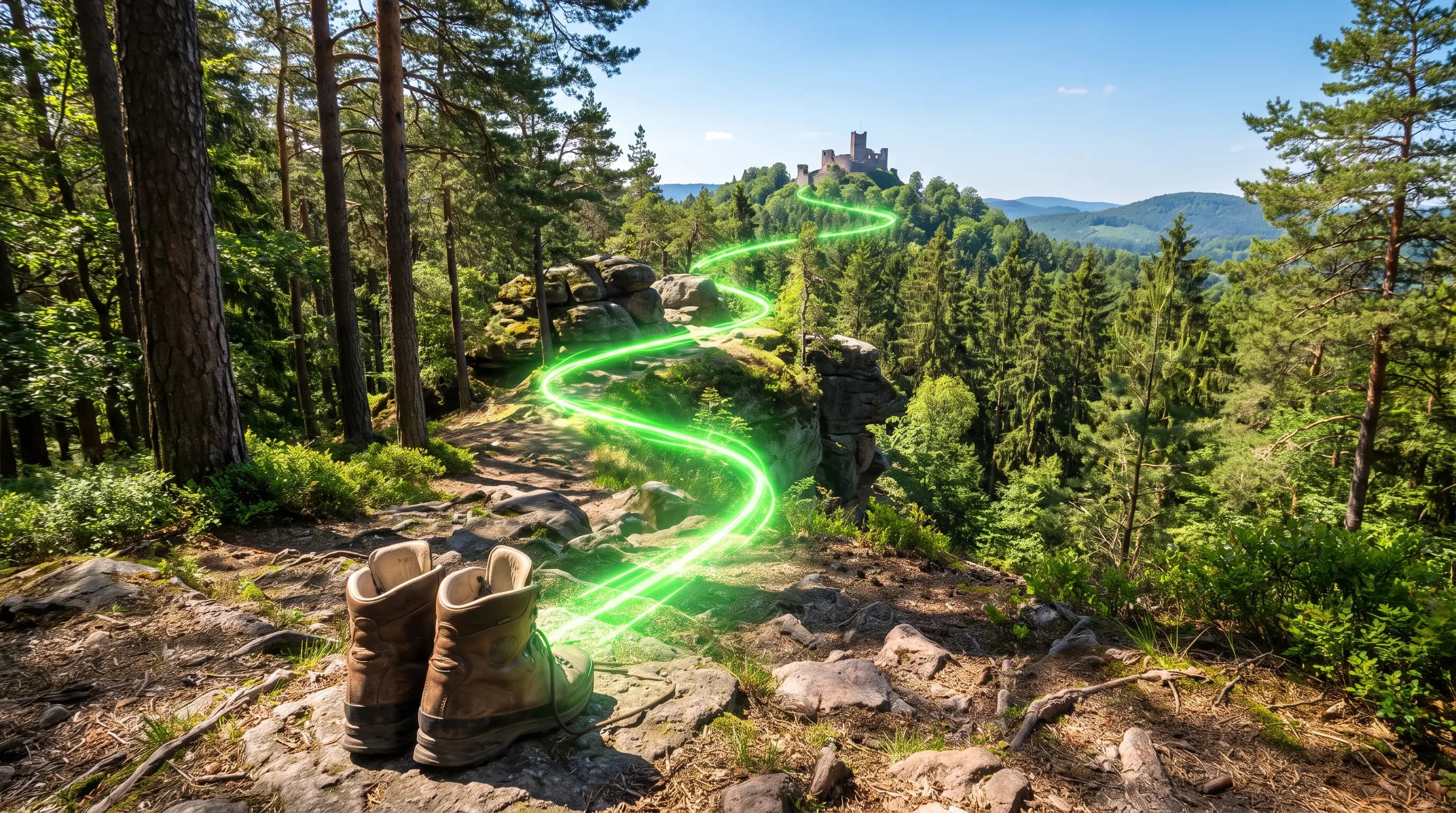

Hiking.With aha moments.
Turn every hike into an interactive adventure: quiz questions about the places along your route – generated automatically in 30 seconds.
Your scavenger hunt for only €1.99
Pay once, share with everyone – no subscription, no hidden costs.
Roundtrip by distance
We’ll generate a roundtrip from your current location.
Plan your own route
Upload your own GPX file or use our interactive route planner to create a customized scavenger hunt. Perfect for planned hikes or individual routes.

A hike to remember: your hiking tour as an interactive quiz adventure
A hike is good – a hike where you know more about the landscape at the end than before is better. The digital scavenger hunt lays an interactive quiz over your hiking route: at striking points along the way, questions unlock that exist precisely for that spot – about the view you're enjoying, the ruin by the trail or the animals in the forest around you.
You have two options: create an automatic round trip from your location – pick a distance, done. Or upload your planned GPX route, such as a stage of your favourite trail, and quiztrip places the quiz questions on exactly that path. Even the familiar home trail becomes exciting again, because you suddenly learn things you've walked past a hundred times.
Ideal for anyone who wants more from hiking: couples looking to upgrade their tours, hiking groups who'd rather debate than just walk, and parents with older kids who find 'just walking' boring. One-off €1.99 per route – no app download, straight in the browser.
What the hiking questions look like
Nature, history and landscape – always tied to the spot you're standing in:
The tree species around you reveal something about this forest. Which sign points to a near-natural, old forest?
Deadwood is a quality mark: it hosts hundreds of species of beetles, fungi and birds. In commercial forests it's often removed – in old, near-natural forests it stays.
This castle ruin towers above the valley. Why were castles almost always built on elevated ground?
Height meant strategic advantage: attackers were spotted early, and the climb made assaults exhausting. The view you enjoy today used to be security technology.
The trail passes through an avenue of old trees. What purpose did such avenues often serve?
Avenues were prestigious driveways and aided orientation. Many hiking trails still follow these historic routes – you're walking in carriage-era tracks.
By the trail stands a wayside cross or small chapel. What was its original function?
Wayside crosses marked pilgrim routes, commemorated accidents or demarcated territories. They're among the oldest witnesses of the cultural landscape you're hiking through.
How your hike becomes a scavenger hunt
- 1
Choose a route – two options
Automatic round trip from your location (pick a distance, done) or upload your own GPX route – e.g. your planned trail stage.
- 2
Questions are placed automatically
quiztrip analyses the places along your route and positions quiz questions at the most interesting points – viewpoints, monuments, special features.
- 3
Hike and solve – at your pace
Questions unlock automatically as you reach each waypoint. Take a break, carry on – the scavenger hunt waits for you.
- 4
Return with new eyes for the landscape
After the tour you'll see the region differently: what you learned sticks – and next time, you'll be the one explaining it.
Why quiztrip is the perfect fit
Less organising, more exploring
Use your own GPX route
Plan your hike as usual in Komoot, Outdooractive & co. – upload the GPX file and the scavenger hunt follows exactly your track.
Or an automatic round trip
Start spontaneously: pick a distance, confirm your location – quiztrip generates a loop from your position, even at an unfamiliar holiday spot.
Questions about real places
No generic puzzles: every question relates to what you're actually seeing – landscape, buildings, nature and history along the route.
Works with weak signal
Once loaded, the tour runs in the browser – even with patchy reception. One smartphone is enough for the whole hiking group.
For solo hikers, couples & groups
Alone for depth, as a couple for shared puzzling or in a hiking group as a talking point – one price for all: €1.99.
Any distance
From a 5 km evening walk to a 20 km day tour: the number of questions adapts to the route length.
How your scavenger hunt is created
Choose a route
Pick a distance for a roundtrip or upload your GPX route – hiking trail, bike ride, or city walk. Done in 30 seconds.
Scavenger hunt is built
Quiz questions are created for every waypoint – about history, nature, and landmarks at exactly that location.
Go out & quiz
Reach checkpoints, solve your scavenger hunt questions, earn points. Works anywhere – city, forest, mountains, or village.
Anywhere. Anytime. For your crew.
Quiztrip fits spontaneous roundtrips, planned hikes, and city discoveries with family, friends, or teams.
Works anywhere
City, forest, village, or mountains: quiztrip finds relevant places along your route and adds regional trivia when there is no landmark nearby.
Ready whenever you are
Runs right in your smartphone browser, with no app and no account. Start a roundtrip or use your own GPX route, pay €1.99 once, and head out.
For families, groups, and teams
Kids mode for simple questions, sharper facts for adults, and shared aha moments for birthdays, day trips, or team events.
Ready for your scavenger hunt?
Create your scavenger hunt in 30 seconds – starting right from your location.
Your scavenger hunt for only €1.99
Pay once, share with everyone – no subscription, no hidden costs.
Roundtrip by distance
We’ll generate a roundtrip from your current location.
Plan your own route
Upload your own GPX file or use our interactive route planner to create a customized scavenger hunt. Perfect for planned hikes or individual routes.
Frequently asked questions about the Hiking Tour
Can I use my planned route from Komoot or Outdooractive?
Yes. Export the route as a GPX file and upload it to quiztrip – the quiz questions are then placed along exactly that track. Alternatively, create an automatic round trip at your chosen distance.
Does the scavenger hunt work in remote areas with poor signal?
The tour loads once and then keeps running in the browser – everything stays usable with weak signal on the way. GPS works independently of mobile coverage.
How many questions are there on a hike?
That depends on the route length: short loops (about 5 km) have fewer, long tours (10–20 km) have more waypoints with questions – keeping the pace pleasant.
Is the hiking scavenger hunt suitable for children?
Yes – choose kids' mode when creating the route and questions are phrased age-appropriately. For demanding mountain tours with small children we recommend shorter distances of 2–4 km.
How much does the scavenger hunt cost per hike?
One-off €1.99 per route – no matter how many people hike along or how long the tour is. No subscription, no further costs.
Still have questions?
View all FAQs →